Introduction to Topography
Topography is an essential service for any construction project, urban development, or infrastructure management. It involves studying, measuring, and accurately representing land and spaces to ensure the feasibility and safety of projects.
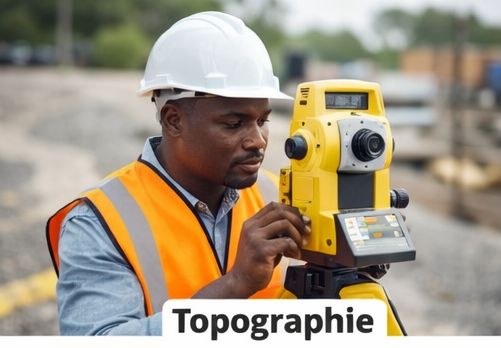
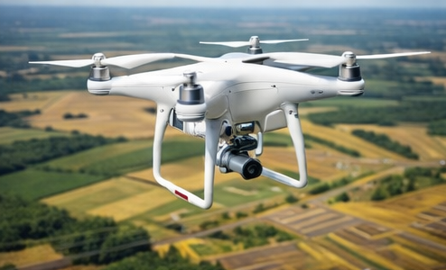
Our team uses modern technologies such as high-precision GPS, total stations, and drones to carry out accurate and detailed topographic surveys.
Our Methods and Technologies
For each project, we choose the most suitable method:
- Traditional ground survey using total stations.
- GPS surveys for large areas.
- Drone photogrammetry for aerial mapping.
- 3D modeling for complex projects.
Each survey is processed to deliver accurate maps, digital terrain models, and detailed reports to support your decision-making.
Applications of Topography
Our topography services are applied in several fields:
- Building and infrastructure construction.
- Urban planning and land development.
- Water, electricity, and road network management.
- Mapping and environmental studies.

Thanks to our accurate data, you can plan your projects with confidence and reduce risks related to land inaccuracies.
Why Choose Our Services?
Our team of experienced surveyors guarantees:
- Accurate and reliable surveys.
- State-of-the-art technology for all types of terrain.
- Detailed and easy-to-understand reports.
- Fast delivery tailored to your needs.

Whether for small residential projects or large-scale infrastructure, our services allow you to fully control your project from the design phase.